
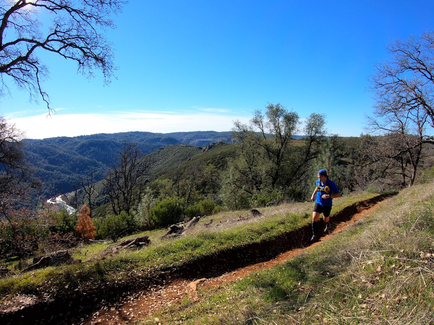
North Fork of the American River Lake Clementine Trailhead
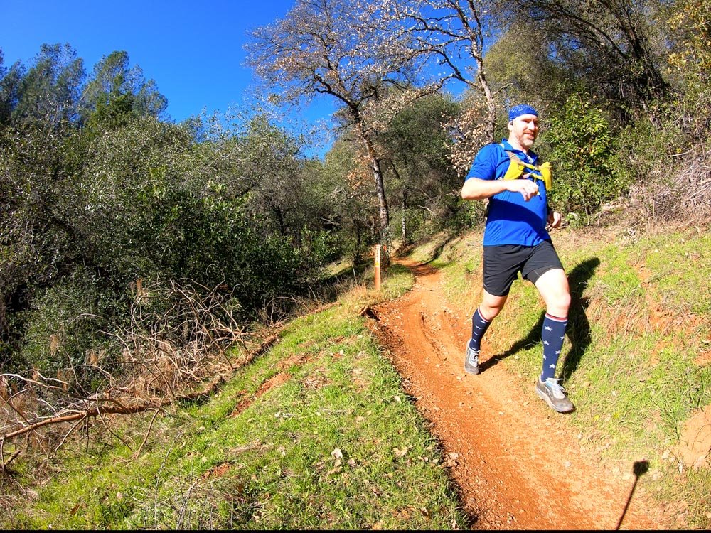
A favorite loop in the Auburn SRA region, especially early mornings during the winter season when the sun is rising and the canyons are filled with dense clouds.
There are a lot of trail junctions so feel free to use the below Route Directions and Map Video for guidance. Watch for mountain bikers and motorcyclists, especially during the busiest times of day, and especially on the weekends.
Miles
Vert. Ft.
Avg. Elev.
Route Details
- No water, little-to-no cell reception.
- Watch out for fast moving mountain bikers on both sides of the loop and watch for motorcycles on the Mammoth OHV side.
Route Guide
0.00 mi ⇒ North Fork American River Lake Clementine Trailhead | Follow the Foresthill Divide Loop Connector Trail in the direction of Foresthill.
0.25 mi ⇒ Trail Junction & HYW Crossing | Take right to Foresthill Rd. Cross Foresthill Rd. Then follow the highway for 200ft to find a green gate and access the Mammoth Bar OHV area. CAUTION when crossing Foresthill Rd!! Traffic travels above 55mph and there are blind turns in both directions!
0.50 mi ⇒ Kennebeck Trail | 100 ft past the green gate, locate Kennebeck Trail. CAUTION and watch for motorcycles that use the Mammoth Bar OHV area!
0.75 mi ⇒ Trail Junction | Take left on to Squaw Flat Trail.
1.00 mi ⇒ Vista | View of the Middle Fork American River towards Browns Bar.
1.25 mi ⇒ Vista | View of Middle Fork American River towards Buckeye Bar.
2.00 mi ⇒ Vista | Another view of the Middle Fork American River Canyon.
2.40 mi ⇒ Vista & Trail Junction | Last view of the Middle Fork American River Canyon. Locate Green Gate to leave the Mammoth Bar OHV area and find the Foresthill Divide Connector Trail.
2.50 mi ⇒ Trail Junction and Scenic area | Take right onto a second Foresthill Connector Trail and follow it up a gentle slope and across wide scenic meadows.
2.75 mi ⇒ Trail Junction | Take left onto Foresthill Divide Loop Trail
3.00 mi ⇒ HYW Crossing | Cross Foresthill Rd. CAUTION when crossing Foresthill Rd!! Traffic travels above 55mph and there are blind turns in both directions!
3.50 mi ⇒ Trail Junction | Take left off the Foresthill Divide Loop and on to the Connector Trail this run first started on.
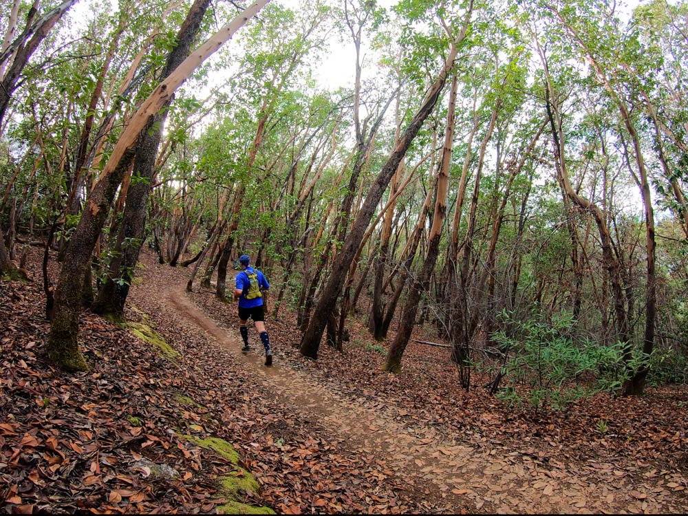
3.75 mi ⇒ Scenic Area | Beautiful rolling trail through tree groves and manzanita.
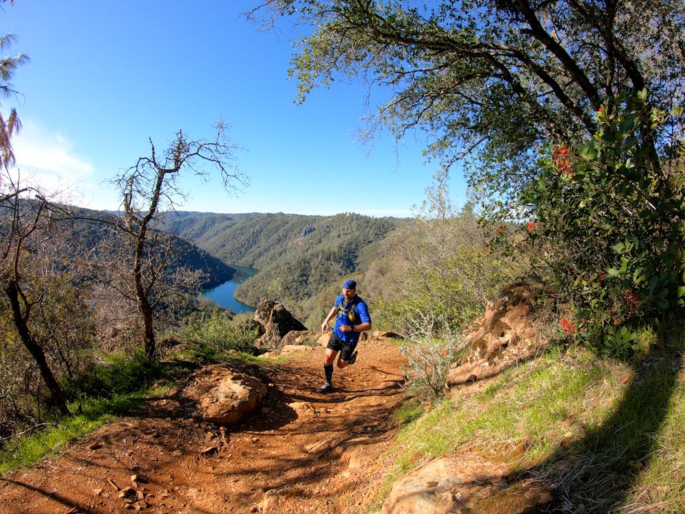
4.25 mi ⇒ Vista | View of the upper end of Lake Clementine.
4.50 mi ⇒ Vista | View of the lower end of Lake Clementine and Lime Rock, aka: Robber’s Roost, overlooking the lower half of the lake from the opposite side of the canyon.
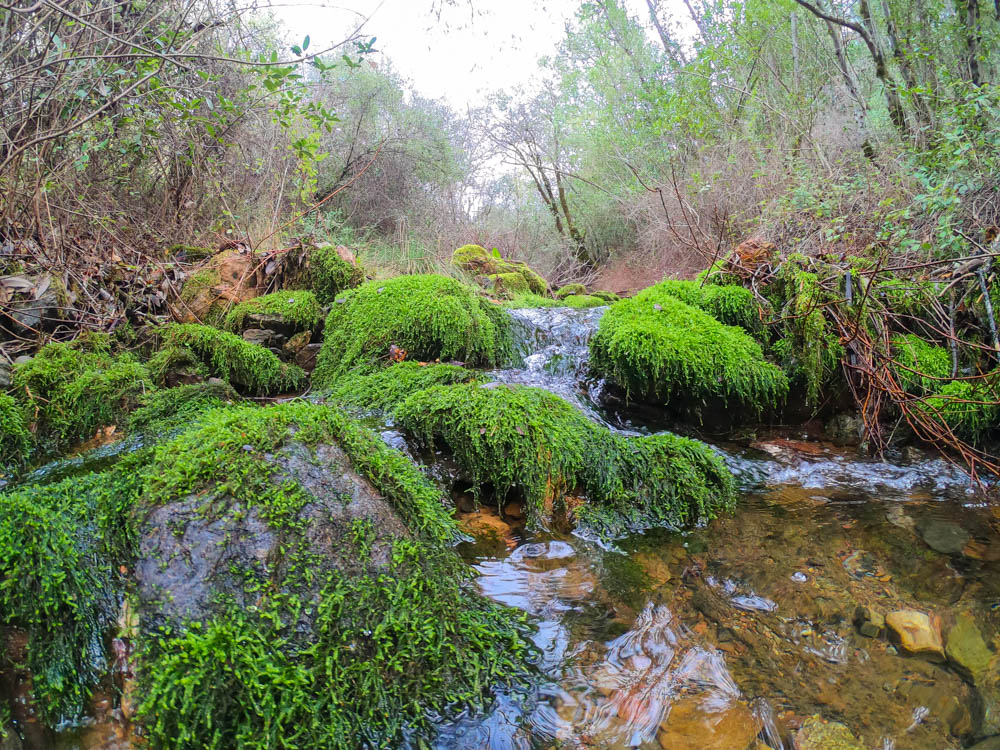
4.75 mi ⇒ Bridge & Mossy Creek Crossing |
5.50 mi ⇒ Scenic | grove of trees unique to the rest of this loop.
5.75 mi ⇒ Trail Junction | Go straight and follow the Foresthill Divide Loop Connector Trail back to the Start.6.00 mi ⇒ FINISH | Loop finishes at the North Fork American River Lake Clementine Trail



Resources
- Closest Town: Auburn, CA (5mi/9mins) (Google Maps)
- Nearest Gas: 5 Stations (5mi/3mins) (Google Maps)
- Nearest Restaurants: Several Venues (5mi/3mins) (Google Maps)
- Nearest Ranger Station: Auburn State Recreation Area Ranger Station (9mi/10mins) (Google Maps)
Post-Adventure EATS & BREWS
STOPSTU’s choices for EATS & BREWS near Mount Langley, CA.
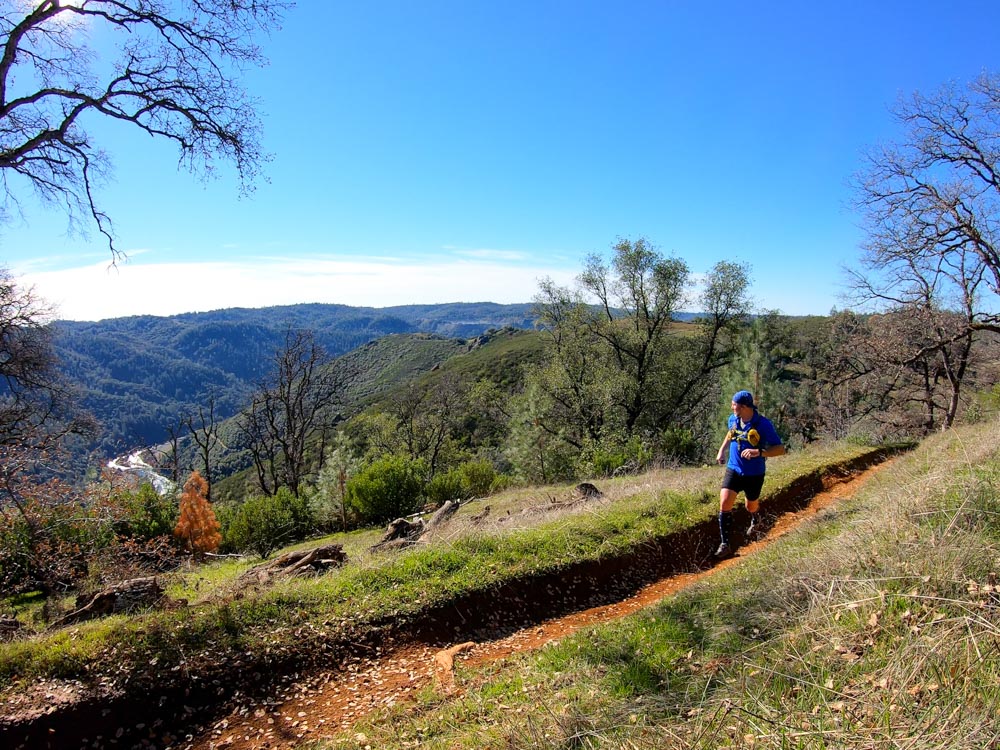
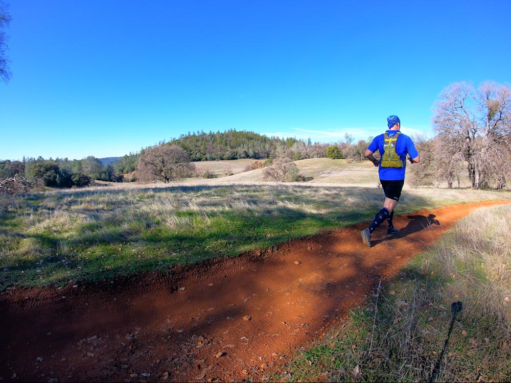
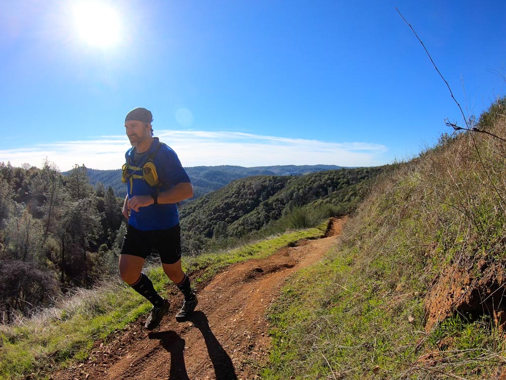
More Photos


0 Comments